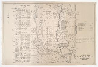
District No. 10 Map, Kansas City, Jackson County, Missouri

Detail map of District 10 of the 1940 tax assessment project. Map illustrates block numbers, appraised values, plat boundaries, and streets. The map covers an area from 31st Street south to 47th Street, and Troost Avenue east to Prospect Avenue.