Tax Assessment Block Folder, Kansas City, MO, District 16, Block 133
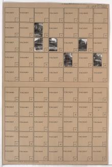
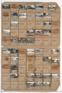
Folder contains photographs of residences in the 77th Terrace south to U.S. Highway 71 (later Hickman Mills Road) and 79th Street, and Brooklyn Avenue east to Prospect Avenue.
Folder contains photographs of residences in the 77th Terrace south to U.S. Highway 71 (later Hickman Mills Road) and 79th Street, and Brooklyn Avenue east to Prospect Avenue.
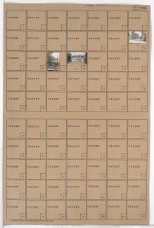
Folder contains photographs of residences in the Walnut Grove neighborhood, from 77th Terrace south to 78th Street, and Paseo Boulevard east to Brooklyn Avenue, including a section of U.S. Highway 71 (later Hickman Mills Road).
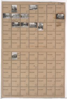
Folder contains photographs of residences and other buildings in the Walnut Grove neighborhood, from 78th Street south to 79th Street, and Paseo Boulevard east to U.S. Highway 71 (later Hickman Mills Road) and Brooklyn Avenue.
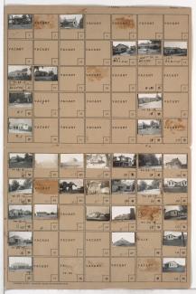
Folder contains photographs of residences, businesses, and other buildings in the Crossgates neighborhood, south of Hickman Mills Road and east of Hillcrest Road, in an area that later would fall in within the Kansas City and Grandview city limits.
Folder contains photographs of residences, businesses, and other buildings in the Royal Oaks neighborhood, from 107th Street south to Hickman Mills Road, and Grandview Road east to Hillcrest Road.