
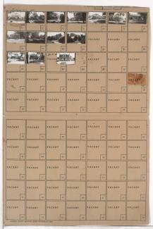
Folder contains photographs of residences in the Neighbors United for Action neighborhood, from Paseo Boulevard south to 66th Terrace, and Broadmoor Road east to Woodland Avenue. Folder also includes a plat map of the block.
Folder contains photographs of residences in the Neighbors United for Action neighborhood, from Paseo Boulevard south to 66th Terrace, and Broadmoor Road east to Woodland Avenue. Folder also includes a plat map of the block.
Second of two folders containing photographs of residences in the Neighbors United for Action neighborhood, from 66th Street south to 66th Terrace, and Troost Avenue east to Broadmoor Road, including sections of Tracy, Virginia, and Lydia Avenues.
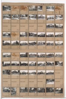
One of two folders containing photographs of residences in the Neighbors United for Action neighborhood, from 66th Street south to 66th Terrace, and Troost Avenue east to Broadmoor Road, including sections of Tracy, Virginia, and Lydia Avenues.

Folder contains photographs of residences in the Santa Fe Hills neighborhood south of the 1940 Kansas City city limits, from Pocahontas Lane south to Navajo Lane, and Hiawatha Road east to Daniel Boone Road. Folder also includes a plat map of the block.