
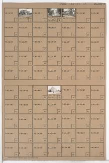
Folder contains photographs of residences and businesses in the Linden Hills neighborhood south of the 1940 Kansas City city limits, south of 99th Street and east of Holmes Road.
Folder contains photographs of residences and businesses in the Linden Hills neighborhood south of the 1940 Kansas City city limits, south of 99th Street and east of Holmes Road.

Folder contains photographs of residences and other buildings in the Blue Valley Parkway area, south of the 1940 Kansas City city limits, from 99th Street south to 107th Street, and Troost Avenue east to Prospect Avenue.
Folder contains photographs of residences and other buildings in the Linden Hills neighborhood south of the 1940 Kansas City city limits, north of 103rd Street and east of Holmes Road.
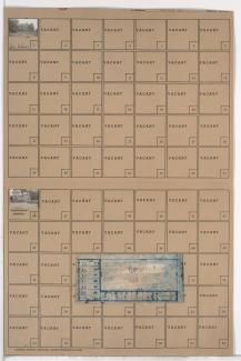
Folder contains photographs of residences and other buildings in the Valley View neighborhood south of the 1940 Kansas City city limits, from 85th Street south to 85th Terrace, and Washington Street east to Wornall Road. Folder also includes a plat map of the block.

Folder contains photographs of residences in the Valley View neighborhood south to 1940 Kansas City city limits, south of 85th Terrace, and from Belleview Avenue east to Wornall Road, including sections of Summit and Washington Streets. Folder also includes a plat map of the block.
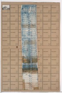
Folder contains a photograph of a business in the Valley View neighborhood south of the 1940 Kansas City city limits, from Belleview Avenue east to Wornall Road, and adjacent to Bobolink Drive. Folder also includes a plat map of the block.
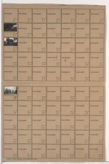
Folder contains photographs of residences and businesses in the Valley View neighborhood south of the 1940 Kansas City city limits, from Belleview Avenue east to Wornall Road, and north of 87th Terrace.