Tax Assessment Block Folder, Kansas City, MO, District 11, Block 335

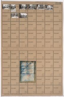
Folder contains photographs of residences in the Plaza/Westport neighborhood, from 44th Terrace south to 45th Street, and Summit Street east to Jefferson Street.
Street Names
Folder contains photographs of residences in the Plaza/Westport neighborhood, from 44th Terrace south to 45th Street, and Summit Street east to Jefferson Street.

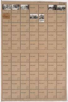
Folder contains photographs of residences in the Plaza/Westport neighborhood, from Corbin Terrace south to 44th Terrace, and Summit Street east to Jefferson Street. Folder also includes a plat map of the block.
Folder contains photographs of residences in the Plaza/Westport neighborhood, from 44th Street south to 44th Terrace, and Broadway Boulevard east to Wornall Road. Folder also includes a plat map of the block.
Folder contains photographs of residences and apartment buildings in the Plaza/Westport neighborhood, from 44th Terrace south to 45th Street, and Broadway Boulevard east to Wornall Road. Folder also includes a plat map of the block.
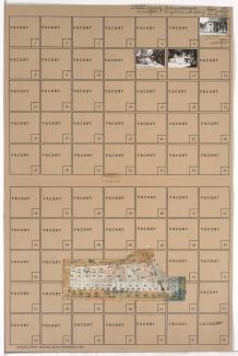
Folder contains photographs of residences and other buildings in the West Plaza neighborhood, from 44th Terrace south to 45th Street, and Terrace Street east to Roanoke Parkway. Folder also includes a plat map of the block.