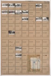
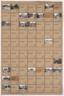
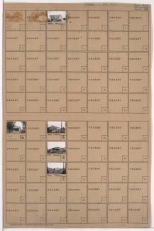
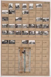
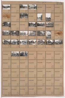
Tax Assessment Block Folder, Kansas City, MO, District 6, Block 321

Folder contains photographs of businesses and other buildings in the Lykins neighborhood, from 15th Street (later Truman Road) south to 17th Street, and Indiana Avenue east to Cleveland Avenue.