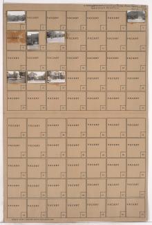
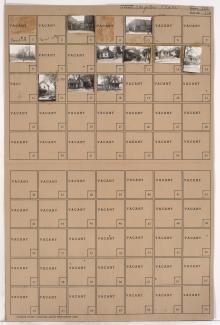
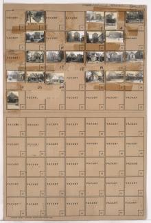
Tax Assessment Block Folder, Kansas City, MO, District 6, Block 338

Folder contains photographs of residences and apartment buildings, in the Washington Wheatley neighborhood, from 19th Street south to 19th Terrace, and Agnes Avenue east to Walrond Avenue.