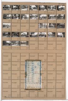
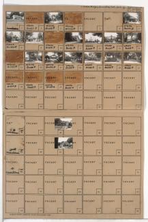
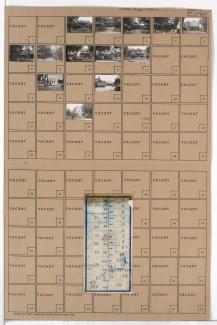
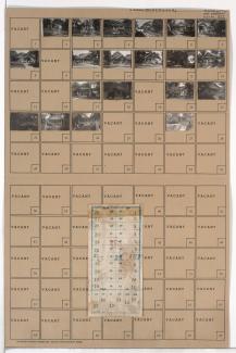
Tax Assessment Block Folder, Kansas City, MO, District 13, Block 209
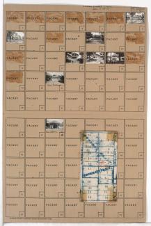
Folder contains photographs of residences, businesses, and other buildings in the Eastern 49-63 neighborhood, from 61st Street south to 62nd STreet, and Troost Avenue east to Forest Avenue. Folder also includes a plat map of the block.