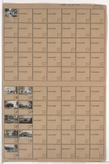
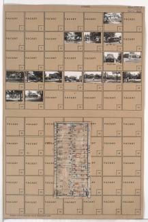
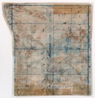
Tax Assessment Block Folder, Kansas City, MO, District 15, Block 66
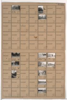
Folder contains photographs of residences and other buildings in the Marlborough East neighborhood, from 75th Street south to the 1940 Kansas City city limits, and Indiana Avenue east to Jackson Avenue, including section a section of 77th Street.