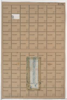
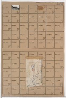
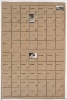
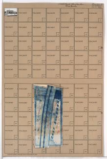
Tax Assessment Block Folder, Kansas City, MO, District 14, Block 107
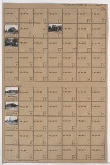
Folder contains photographs of residences and other buildings in the Swope Parkway neighborhood, from 57th Street and the Blue River south to 58th and 59th Streets, and Elmwood and Lister Avenues east to Brighton Avenue and the Blue River.