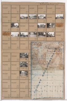
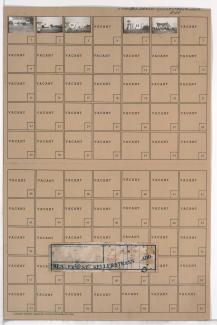
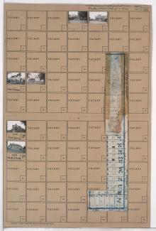
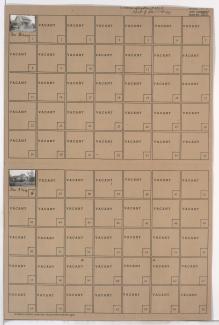
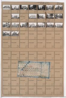
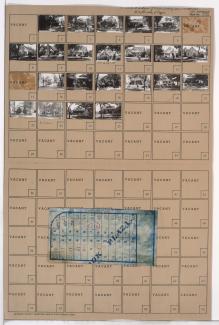
Tax Assessment Block Folder, Kansas City, MO, District 20G, Block 144
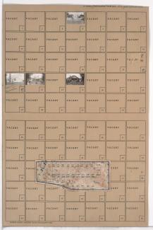
Folder contains photographs of residences and other buildings in the Rolling Meadows neighborhood south of the 1940 Kansas City city limits, from 84th Street south to 85th Street, and Campbell Street east to Troost Avenue. Folder also includes a plat map of the block.