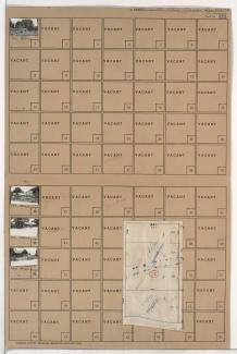
Folder contains photographs of residences in the Swope Parkway neighborhood, from 58th Street south to 59th Street, and Quincy Avenue east to Denver Avenue. Folder also includes a plat map of the block.
Folder contains photographs of residences in the Swope Parkway neighborhood, from 57th Terrace south to 58th Street, and Quincy Avenue east to Denver Avenue. Folder also includes a plat map of the block.
Folder contains a photograph of a residence in the Swope Parkway neighborhood, from 58th Street south to 59th Street, and Denver Avenue east to Colorado Avenue. Folder also includes a plat map of the block.
Folder contains photographs of residences in the Swope Parkway neighborhood, from 57th Terrace south to 58th Street, and Denver Avenue east to Colorado Avenue. Folder also includes a plat map of the block.
Folder contains photographs of residences and farm buildings in the Swope Parkway neighborhood, from 53rd Street south to the Blue River, and Quincy Avenue east to Denver Avenue.
Folder contains a photograph of a residence in the Swope Parkway neighborhood, from 52nd Street south to 53rd Street, and Quincy Avenue east to Denver Avenue.
Folder contains a photograph of a residence in the Swope Parkway neighborhood, from 52nd Street south to 53rd Street, and Denver Avenue east to the Blue River.
Folder contains photographs of residences in the Brown Estates neighborhood, from Blue Ridge Road south to 51st Street, and Brighton Avenue east to Denver Avenue.
Folder contains photographs of residences in the Brown Estates neighborhood, from Blue Ridge Road south to 51st Street, and Denver Avenue east to Hardesty Avenue. Folder also includes a plat map of the block.
Folder contains photographs of residences in the Eastwood Hills West neighborhood, from 47th Street south to Blue Banks Avenue, and Brighton Avenue east to the Blue River, including sections of Quincy, Denver, Colorado, and Hardesty Avenues.