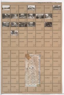
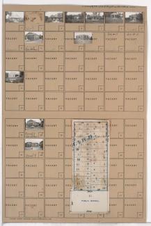
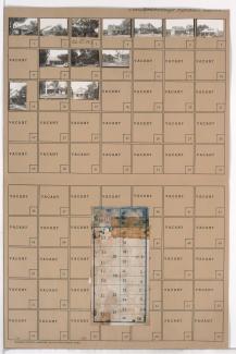
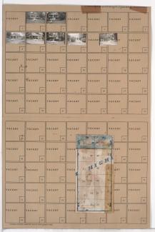
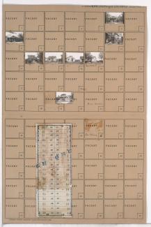
Tax Assessment Block Folder, Kansas City, MO, District 20G, Block 163
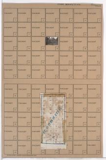
Folder contains a photograph of a building in the Marlborough South neighborhood south of the 1940 Kansas City city limits, south of 86th Street and from Wayne Avenue east to Highland Avenue. Folder also includes a plat map of the block.