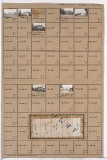
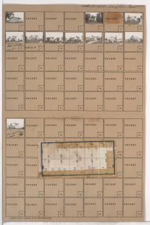
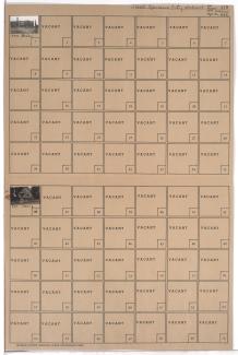
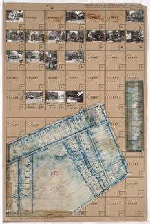
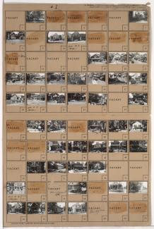
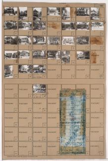
Tax Assessment Block Folder, Kansas City, MO, District 20G, Block 113

Folder contains photographs of residences in the Ward Parkway Plaza neighborhood south of the 1940 Kansas City city limits, from 81st Street south to 83rd Street, and Mercier Street east to Holly Street. Folder also includes a plat map of the block.