Indiana Avenue

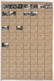
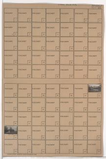
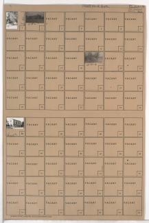
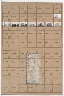
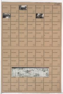
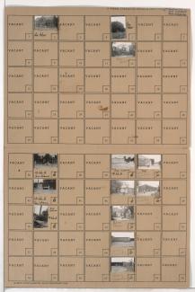
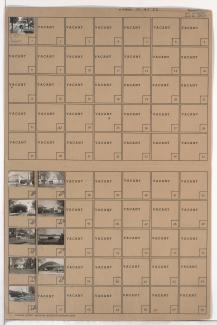
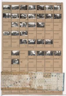
Tax Assessment Block Map, Kansas City, MO, District 8, Block 215

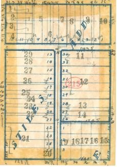
Map of block in the Washington Wheatley neighborhood, from 23rd Street south to 24th Street, and College Avenue east to Indiana Avenue, containing information about tax assessment values of included properties, and illustrating lot numbers for the block. Photographs of properties on the block can be viewed below.

Tax Assessment Block Folder, Kansas City, MO, District 15, Block 70

Folder contains photographs of residences and other buildings in the East Meyer Cluster neighborhood, from 63rd Street south to Meyer Boulevard, and Indiana Avenue east to Swope Parkway, including sections of Askew and Monroe Avenues. Southeast High School, at 3500 Meyer Boulevard, is among the buildings pictured.

Tax Assessment Block Folder, Kansas City, MO, District 15, Block 61

Folder contains photographs of buildings and other structures in Fairyland Park in the Marlborough East neighborhood, from 75th Street south to 77th Street, and Prospect Avenue east to Indiana Avenue. Among the pictured buildings are the main entrance hall, the Sky Rocket roller coaster, and other attractions.

Tax Assessment Block Folder, Kansas City, MO, District 14, Block 236

Folder contains photographs of residences and other buildings in the North Town Fork Creek neighborhood, from 58th Terrace south to 59th Street, and Indiana Avenue east to Swope Parkway. The St. Louis Roman Catholic Church and School, at 59th and Swope Parkway, are among the buildings pictured. Folder also includes a plat map of the block.