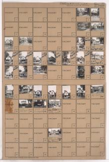
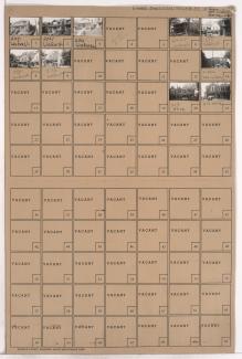
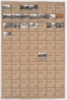
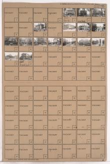
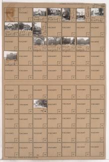
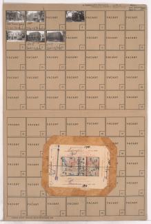
Tax Assessment Block Folder, Kansas City, MO, District 2, Block 175

Folder contains photographs of residences in the Holyrood subdivision, from Lexington Avenue south to 5th Street, and Prospect Boulevard east to Montgall Avenue. Folder also contains a plat map of the block.