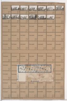
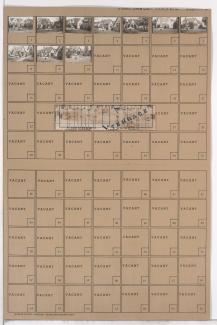
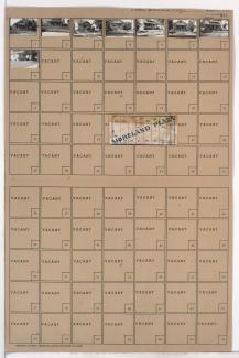
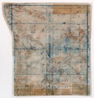
Tax Assessment Block Folder, Kansas City, MO, District 20G, Block 111A

Folder contains photographs of residences in the West Waldo neighborhood south of the 1940 Kansas City city limits, from 81st Street south to 83rd Street, and Belleview Avenue east to Summit Street, including a section of Madison Avenue.