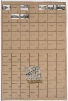
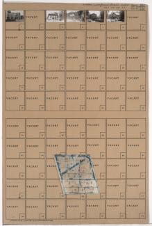
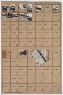
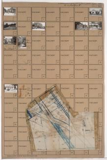
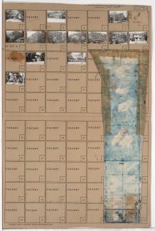
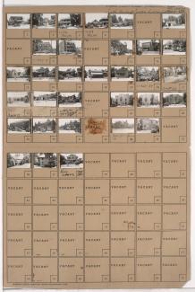
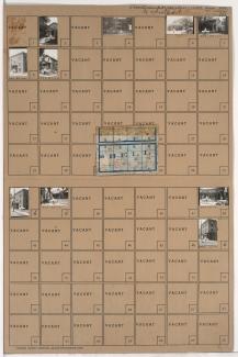
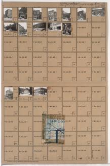
Tax Assessment Block Folder, Kansas City, MO, District 11, Block 344
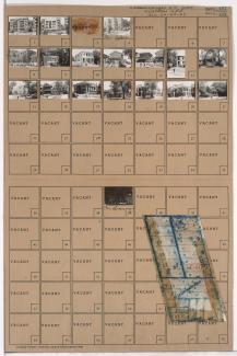
Folder contains photographs of residences, apartments, and other buildings in the Plaza/Westport neighborhood, from 45th Street south to 46th Street, and Wornall Road east to Mill Creek Parkway (later J. C. Nichols Parkway). Folder also includes a plat map of the block.