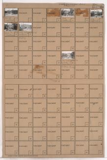
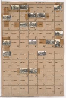
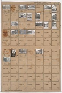
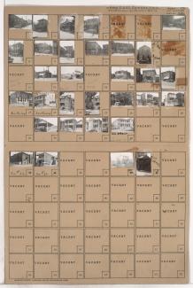
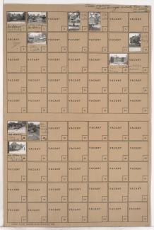
Tax Assessment Block Folder, Kansas City, MO, District 2, Block 216
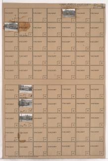
Folder contains photographs of residences and other buildings in the Pendleton Heights neighborhood, from Pacific Street south to Belvidere Avenue, and Lydia Avenue east to Paseo Boulevard.