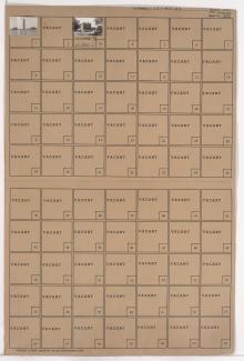
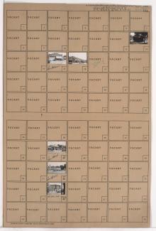
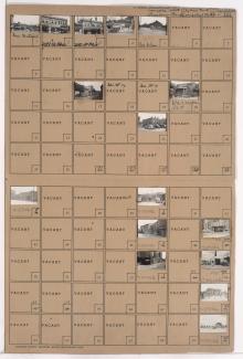
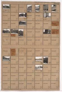
Tax Assessment Block Folder, Kansas City, MO, District 4, Block 347

Folder contains photographs of the Federal Building and Post Office and Business Men's Assurance Company buildings, in an area adjacent to Union Station from Pershing Road south to 25th Street, and Broadway Boulevard (later West Pennway) east to Kessler Road.