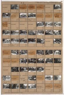
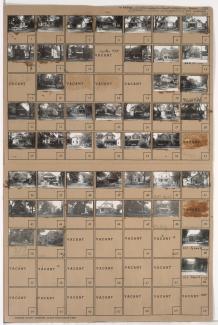
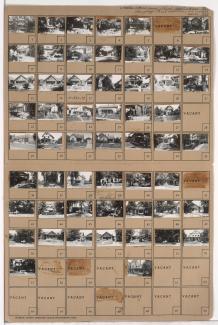
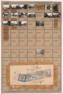
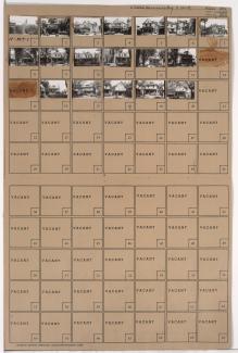
Tax Assessment Block Folder, Kansas City, MO, District 11, Block 388
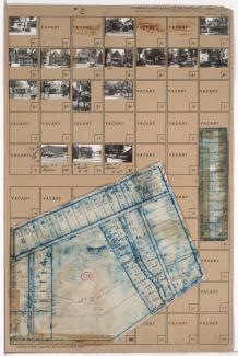
Second of two folders containing photographs of residences and other buildings in the Westport neighborhood, from 42nd Street south to 43rd Street and Westport Road, and Holly Street east to Roanoke Road, including sections of Wiedenmann Place and Greenwood Place.