Roberts Street
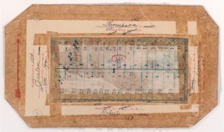
Tax Assessment Block Map, Kansas City, MO, District 2, Block 146
Map of block in the Scarritt Point neighborhood, from Benton Boulevard east to Indiana Avenue, and Thompson Avenue south to Roberts Street, containing information about tax assessment values of included properties, and illustrates lot numbers for the block. Photographs of properties on the block can be viewed below.
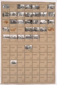
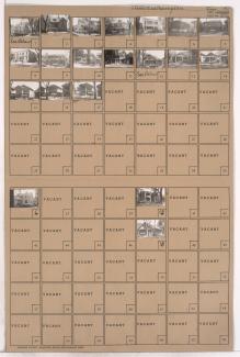
Tax Assessment Block Folder, Kansas City, MO, District 2, Block 153
Folder contains photographs of residences and businesses in Smart's Addition, from Roberts Street south to Independence Avenue, and Benton Boulevard east to Indiana Avenue. The Perky Brothers Transfer and Storage Company facility, at 3212 Independence, and the Benton Theatre, at 3200 Independence, are among the buildings pictured. A Taystee Bread delivery truck is seen in one of the pictures.
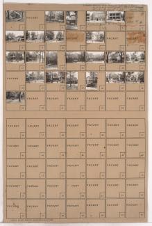
Tax Assessment Block Folder, Kansas City, MO, District 2, Block 104
Folder contains photographs of residences in the Bethesda Place #2 and Bethesda Place Annex additions, from Roberts Street south to Independence Avenue, and Monroe Avenue east to Myrtle Avenue. The Church of God Tabernacle, at 3838 Independence Avenue, and Eddie's Auto Palace, at 3824 Independence Avenue, are among the buildings pictured.
Pagination
- Page 1
- Next page


