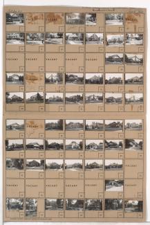
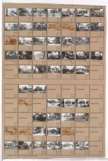
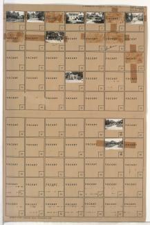
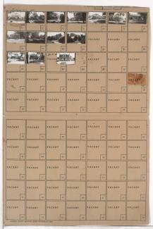
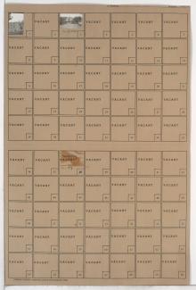
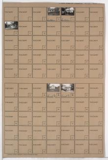
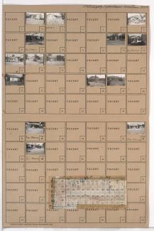
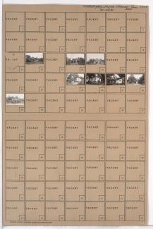
Tax Assessment Block Map, Kansas City, MO, District 10, Block 179

Map of block in the Manheim Park neighborhood, from 42nd Street south to 43rd Street, and Troost Avenue east to Forest Avenue, containing information about tax assessment values of included properties, and illustrating lot numbers for the block. Photographs of properties on the block can be viewed below.