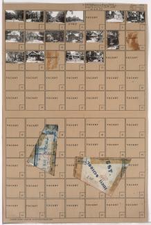
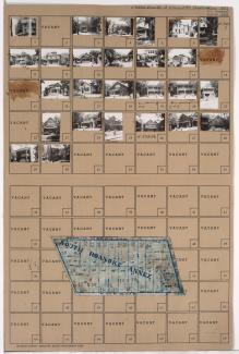
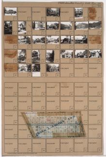
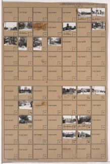
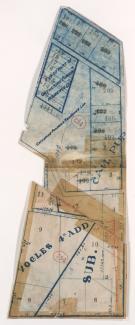
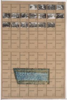
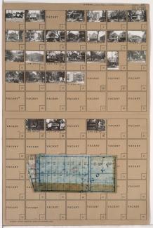
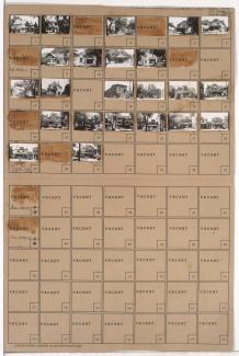
Tax Assessment Block Folder, Kansas City, MO, District 11, Block 373
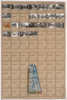
Folder contains photographs of residences in the Volker neighborhood, from 40th Terrace south to 41st Street, and Madison Avenue east to Waddell Avenue. Folder also includes a plat map of the block.