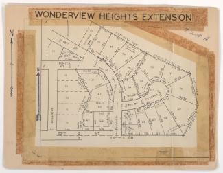
Tax Assessment Block Folder, Kansas City, MO, District 7, Block 209

Folder contains photographs of residences in the Blue Valley Park neighborhood, from US Highway 40 and the Westport Independence Road south to 30th and 31st Streets, and east of Topping Avenue. Folder also includes a plat map of the block, which can be viewed below.