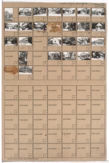
Wyoming Street

Tax Assessment Block Folder, Kansas City, MO, District 11, Block 385

Folder contains photographs of residences, businesses, and other buildings in the Volker neighborhood, from 42nd Street south to 43rd Street/Westport Road, and Wyoming Street east to Terrace Street. Mission Covenant Evangelical Church, at 42nd and Terrace, and Old Town Tavern, at 1416 Westport Road, are among the buildings pictured. Folder also includes a plat map of the block, pictured at lower left. 
Tax Assessment Block Map, Kansas City, MO, District 17, Block 299

Map of block in the Romanelli West neighborhood, from 75th Street south to 77th Street, and State Line Road east to Ward Parkway, including sections of Wyoming and Terrace Streets, 76th Terrace, 76th Street, and 75th Terrace, containing information about tax assessment values of included properties, and illustrating lot numbers for the block. Photographs of properties on the block can be viewed below.

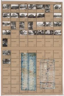
Tax Assessment Block Folder, Kansas City, MO, District 17, Block 299

Folder contains photographs of residences and other buildings in the Romanelli West neighborhood, from 75th Street south to 77th Street, and State Line Road east to Ward Parkway, including sections of Wyoming and Terrace Streets, 76th Terrace, 76th Street, and 75th Terrace. Folder also includes two plat maps of the block, the second of which can be viewed below.