Bakeries
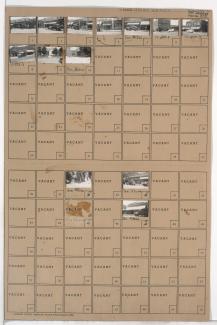
Tax Assessment Block Folder, Kansas City, MO, District 17, Block 14
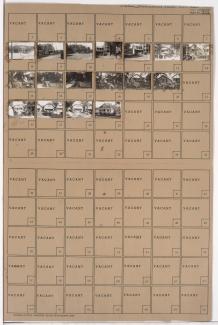
Folder contains photographs of residences, businesses, and other buildings in the Brookside neighborhood, from 63rd Street south to Meyer Boulevard, and Wornall Road east to Wyandotte Avenue/Brookside Plaza, including a section of Brookside Boulevard. Mrs. Stover's Bungalow Candies, at 6306 Brookside Plaza, Border Star School, at 6307-6321 Wornall, and the Country Club Oasis, at 6310 Brookside Plaza, are among the buildings pictured. Folder also includes a plat map of the block.
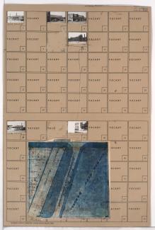
Tax Assessment Block Folder, Kansas City, MO, District 11, Block 22
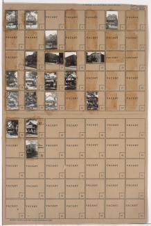
Folder contains photographs of residences and businesses in the North Hyde Park neighborhood, from Linwood Boulevard south to 33rd Street, and Holmes Street east to Charlotte Street. Feinberg Kosher Sausage Company, at 709 East Linwood, and a Seventh Day Adventist Church, at Linwood and Charlotte, are among the buildings pictured. Folder also includes a plat map of the block.
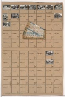
Tax Assessment Block Folder, Kansas City, MO, District 10, Block 232
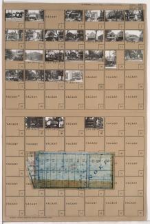
Folder contains photographs of residences, businesses, and apartment buildings in the Manheim Park neighborhood, from 46th Street south to 47th Street, and Troost Avenue east to Forest Avenue. Lewis Appliance Company, at 47th and Troost, and an A&P Supermarket, at 4625-4627 Troost, are among the buildings pictured. Folder also includes a plat map of the block.
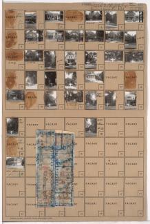
Tax Assessment Block Folder, Kansas City, MO, District 11, Block 292
Folder contains photographs of residences and other buildings in the Westport neighborhood, from 39th Street south to 39th Terrace, and Waddell Avenue south to Pennsylvania Avenue. Adolph Hapke Jewelry Store, at 721 East 39th, and Janoe's Bakery, at 727 West 39th, are among the buildings pictured. Folder also includes a plat map of the block.
Tax Assessment Block Folder, Kansas City, MO, District 11, Block 295
Folder contains photographs of residences, businesses, and other buildings in the Westport neighborhood, from 40th Street south to Westport Road, and Mill Street east to Pennsylvania Avenue. Manor Baking Company, at 4026-4050 Pennsylvania, Sawyer Material & Coal Company, at 530 Westport Road, and Kelly's Westport Inn, at Westport and Pennsylvania, are among the buildings pictured. Folder also includes a plat map of the block.
Pagination
- Page 1
- Next page
