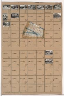
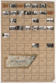
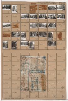
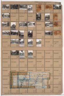
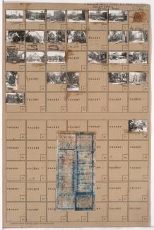
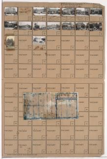
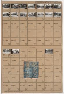
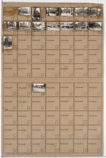
Tax Assessment Block Folder, Kansas City, MO, District 13, Block 12
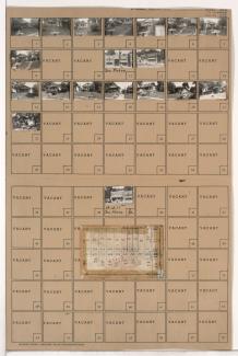
Folder contains photographs of residences and businesses in the Blue Hills neighborhood, from 48th Terrace south to 49th Street, and Wabash Avenue east to Prospect Avenue. Folder also includes a plat map of the block.