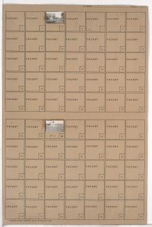
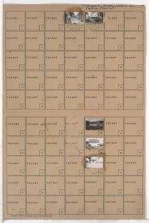
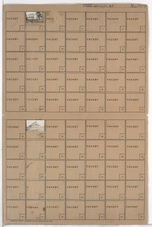
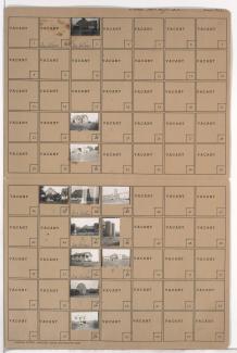
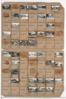
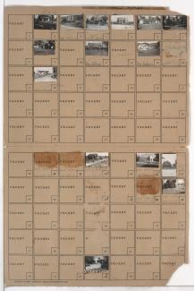
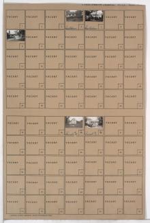
Folder contains photographs of residences and other buildings in the Santa Fe Hills neighborhood south of the 1940 Kansas City city limits, from 87th Street south to 89th Street, and Holmes Road east to Troost Avenue.
Folder contains photographs of residences and other buildings in the Eastwood Hills West neighborhood, from 49th Street south to Blue Ridge Road, and Colorado Avenue east to Hardesty Avenue. Folder also includes a plat map of the block.
Folder contains photographs of residences and farm buildings in Martin City, Missouri south of the 1940 Kansas City city limits, south of Birrell Road and east of Holmes Road. Folder also includes a plat map of the block.
Folder contains photographs of residences and other buildings southeast of the 1940 Grandview city limits, north of 135th Street and west of Grandview Avenue.
Folder contains photographs of residences and other buildings in an area west of the 1940 Grandview city limits, from the Blue Ridge Extension south to Robinson Pike Road. Outside of folder includes a map of the area which can be viewed below.
Folder contains photographs of residences and farm buildings in an area northeast of the 1940 Grandview city limits, east of Hillcrest Road and north of Highgrove Road.
Folder contains photographs of residences, businesses, and other buildings in the Royal Oaks neighborhood, from 107th Street south to Hickman Mills Road, and Grandview Road east to Hillcrest Road.
Folder contains photographs of residences and other buildings in the Red Bridge neighborhood, from 107th Street south to McFadden Road, and Holmes Road east to Prospect Avenue. Folder also includes two plat maps of the area, which can be viewed below.
Folder contains photographs of residences, businesses, and other buildings in the Verona Hills and Bridlespur neighborhoods, south of the 1940 Kansas City city limits, and from State Line Road east to Holmes Road.