Bars

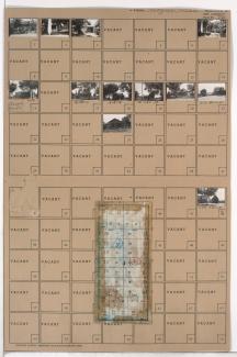
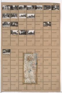
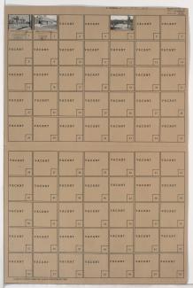
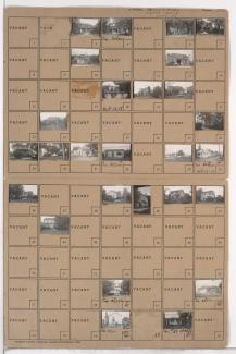
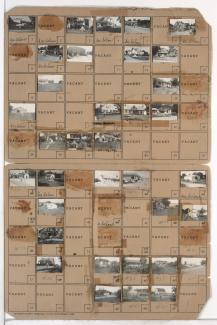
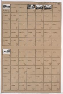
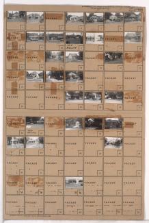
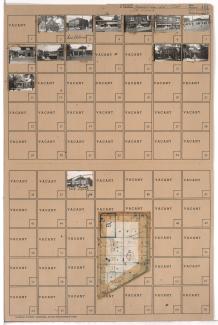
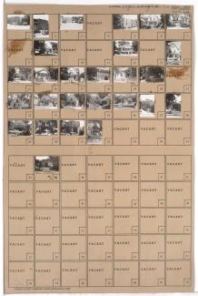
Tax Assessment Block Folder, Kansas City, MO, District 11, Block 385

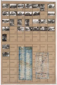
Folder contains photographs of residences, businesses, and other buildings in the Volker neighborhood, from 42nd Street south to 43rd Street/Westport Road, and Wyoming Street east to Terrace Street. Mission Covenant Evangelical Church, at 42nd and Terrace, and Old Town Tavern, at 1416 Westport Road, are among the buildings pictured. Folder also includes a plat map of the block, pictured at lower left. 

Tax Assessment Block Folder, Kansas City, MO, District 14, Block 184

Folder contains photographs of residences, businesses, and other buildings in the North Town Fork Creek neighborhood, from 54th Street south to 55th Street, and Prospect Avenue east to Mongall Avenue. Southside Baptist Church, at 54th and Montgall, is among the buildings pictured. Folder also includes a plat map of the block.

Tax Assessment Block Folder, Kansas City, MO, District 20G, Block 56

Folder contains photographs of residences, businesses, and other buildings in the Rockhill Manor neighborhood south of the 1940 Kansas City city limits, from 79th Street south to 81st Street, and Holmes Street east to Troost Avenue, including sections of 80th Street and 80th Terrace.

Tax Assessment Block Folder, Kansas City, MO, District 12, Block 1

Folder contains photographs of residences and businesses in the Park Central neighborhood, from 47th Street south to 48th Street, and Harrison Street east to Troost Avenue. Rockhill Tavern, at 1007 East 48th, is among the buildings pictured. Folder also includes a plat map of the block.