Dairy stores

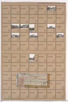
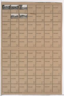
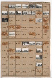
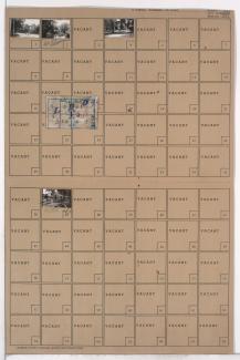
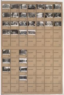
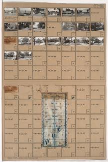
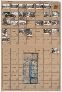
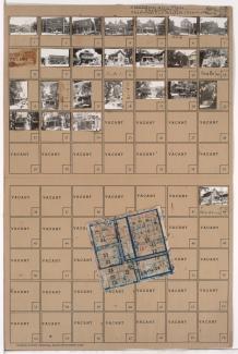
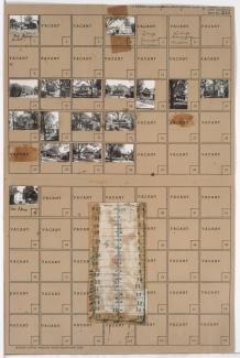
Tax Assessment Block Folder, Kansas City, MO, District 20G, Block 148

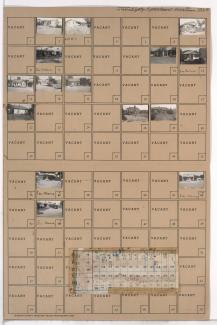
Folder contains photographs of residences, businesses, and other buildings in the Marlborough Heights neighborhood south of the 1940 Kansas City city limits, from 84th Terrace south to 85th Street, and Troost Avenue east to Tracy Avenue. Folder also includes a plat map of the block.

Tax Assessment Block Folder, Kansas City, MO, District 17, Block 307

Folder contains photographs of residences and businesses in the Waldo neighborhood, from 77th Street south to the 1940 Kansas City city limits, and Washington Street east to Wornall Road. Kathrine's Place, at 7710 Wornall, is among the buildings pictured, with a city limits sign visible at the edge of the photograph. Folder also includes a plat map of the block.

Tax Assessment Block Folder, Kansas City, MO, District 11, Block 362

Folder contains photographs of residences, businesses, and other buildings in the Volker neighborhood, from 39th Street south to 40th Street, and State Line Road east to Bell Street. Kansas City Electric Light Company Substation K, at 40th and State Line, the Scotford Apartments, at 3932-3934 Bell, and Superior Meat & Sausage, at 1817-1819 East 39th, are among the buildings pictured.

Tax Assessment Block Folder, Kansas City, MO, District 12, Block 170

Folder contains photographs of residences and businesses in the Western 49-63 neighborhood, from 55th Street south to 56th Street, and Harrison Street east to Troost Avenue. A Kroger grocery store, at 5500 Troost, is among the buildings pictured. Folder also includes a plat map of the block.