Lumberyards

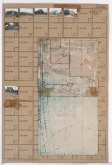
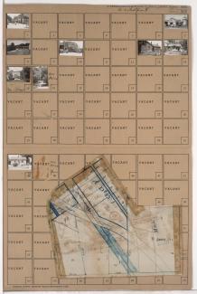
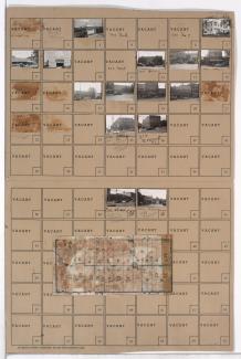
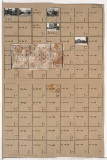
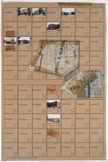
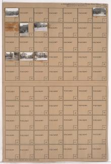
Tax Assessment Block Folder, Kansas City, MO, District 14, Block 193

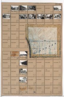
Folder contains photographs of residences and other buildings in the Swope Parkway neighborhood, from 55th Street south to 56th Street, and Swope Parkway east to Myrtle Avenue. Parkway Baptist Church, at 3814 East 56th, is among the buildings pictured. Folder also includes a plat map of the block.

Tax Assessment Block Folder, Kansas City, MO, District 17, Block 226

Folder contains photographs of residences and businesses in the Waldo neighborhood, from 75th Street south to 77th Street, and Wornall Road east to Wyandotte Street. Dierks and Son's Lumber Company, at 75th and Wornall, is among the buildings pictured. Folder also includes a plat map of the block.

Tax Assessment Block Folder, Kansas City, MO, District 11, Block 316

Folder contains photographs of residences, businesses, and other buildings in the Plaza/Westport neighborhood, from 42nd Street south to 43rd Street, and Wornall Road east to Mill Creek Parkway (later Broadway), including a section of Pennsylvania Avenue. R. L. Sweet Lumber Company, at 200 West 43rd, Plaza Laundry, at 501 West 42nd, and the Penn School, at 4237 Pennsylvania, are among the buildings pictured. Folder also includes a plat map of the block.

Tax Assessment Block Folder, Kansas City, MO, District 13, Block 72

Folder contains photographs of businesses and other buildings in the Eastern 49-63 neighborhood, from 47th Street south to 48th Street, and Troost Avenue east to Forest Avenue. Dascomb-Daniels Lumber Company, on 48th Street, is among the buildings pictured. Folder also includes a plat map of the block.

Tax Assessment Block Folder, Kansas City, MO, District 13, Block 71

Folder contains photographs of businesses and other buildings in the Eastern 49-63 neighborhood, from 47th Street south to 48th Street, and Forest Avenue east to Tracy Avenue. American Ice Company, at 48th and Tracy, is among the buildings pictured. Folder also includes a plat map of the block.

Tax Assessment Block Folder, Kansas City, MO, District 11, Block 310

Folder contains photographs of residences, businesses, and other buildings in the Westport neighborhood, from Westport Road south to Archibald Avenue and 42nd Street, and from Pennsylvania Avenue (later Bridger Road) east to Mill Street and Pennsylvania Avenue. Badger Lumber Company, at 557 Westport, is among the buildings pictured. Folder also includes a plat map of the block.

Tax Assessment Block Folder, Kansas City, MO, District 6, Block 337

Folder contains photographs of residences, businesses, and other buildings in the Washington Wheatley neighborhood, from 18th Street south to 19th Street, and Agnes Avenue east to Walrond Avenue. A. O. Thompson Lumber Company, at 18th and Walrond, and Hayes Tavern, at 3023 East 18th, are among the buildings pictured.