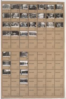
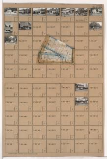
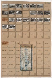
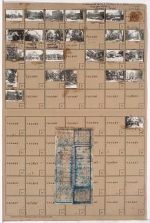
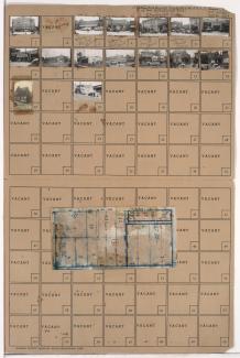
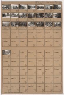
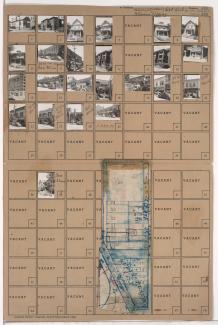
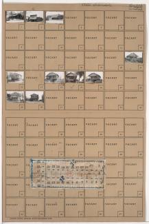
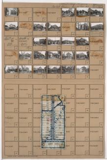
Tax Assessment Block Folder, Kansas City, MO, District 17, Block 283
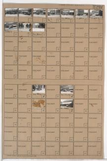
Folder contains photographs of businesses and other buildings in the Waldo neighborhood, from 74th Terrace south to 75th Street, and Washington Street east to Wornall Road. Wornall Hardware, at 7438 Wornall, and J. A. Peterson Variety Store, at 7432-7434 Wornall, are among the buildings pictured.