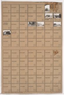
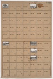
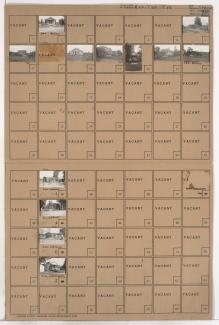
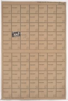
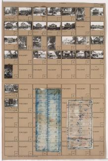
Tax Assessment Block Folder, Kansas City, MO, District 3, Block 58
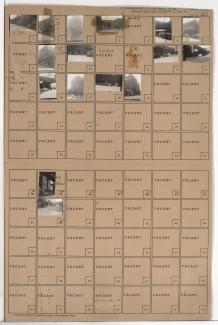
Folder contains photographs of businesses and industrial buildings in the West Bottoms district, from 8th Street south to St. Louis Avenue, and Santa Fe Street north to the Intercity Trafficway.