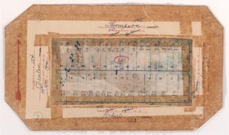
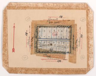
Tax Assessment Block Map, Kansas City, MO, District 2, Block 212

Map of block in the Pendleton Heights neighborhood, from Brownell Avenue south to Independence Avenue, and Woodland Avenue east to Maple Boulevard. Photographs of properties on the block can be viewed below.