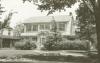
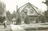
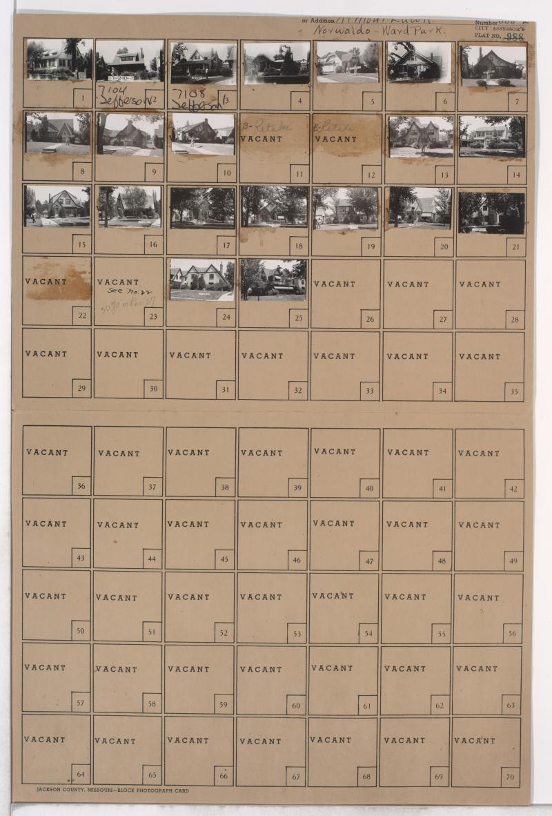
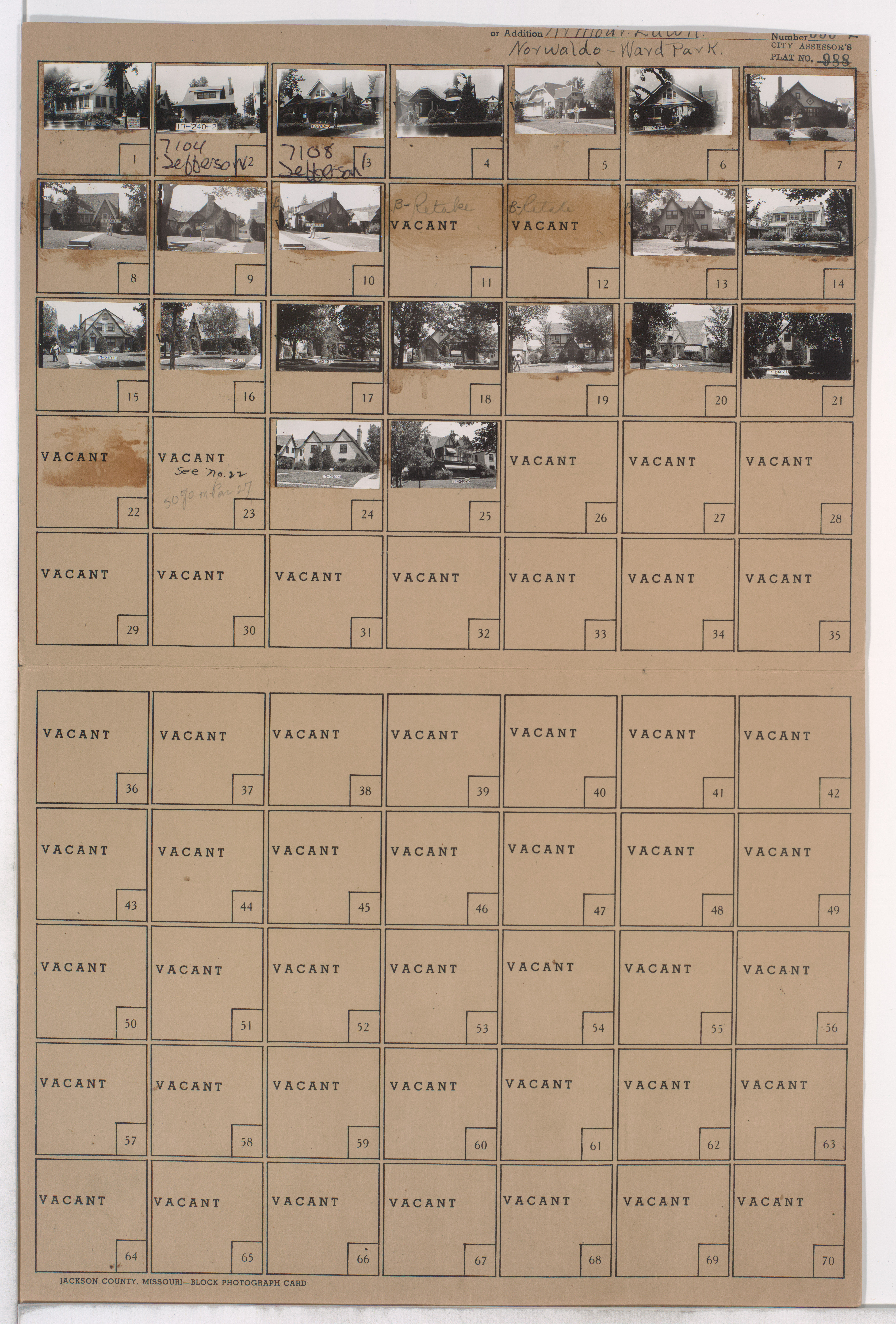
Folder contains photographs of residences in the Ward Parkway neighborhood, from Gregory Boulevard south to 72nd Street, and Summit Street east to Jefferson Street.
Hover to Zoom
Neighborhood
Additions / Subdivisions
Local Subject
Street Names
Digital Object Identifier
40005053
Notes
Missing images for parcels 11, 12, and 22.
Folder Number
17-240
County Plat Number
555L
City Plat Number
988
Download Image File
Request a Building Photo
Genre
Subject
Date
Source
P38, Box 43, Folder 429
State
Missouri
County
Jackson
City
Kansas City
Collection Name
Kansas City 1940 Tax Assessment Photographs
View on Missouri Digital Heritage
Rights
Any use of the images found in this collection should include the following credit: Missouri Valley Special Collections, Kansas City Public Library, Kansas City, Missouri. To inquire about permissions, please contact Missouri Valley Special Collections at (816) 701-3427 or lhistory@kclibrary.org
Acknowledgement
This project is supported by the Institute of Museum and Library Services under the provisions of the Library Services and Technology Act as administered by the Missouri State Library, a division of the Office of the Secretary of State.