Tax Assessment Block Folder, Kansas City, MO, District 16, Block 20

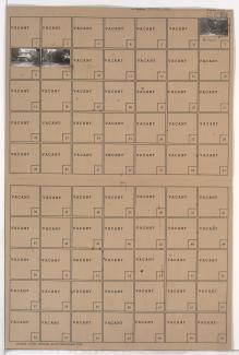
Folder contains a photograph of a building in the Tri-Blenheim neighborhood, from 65th Street south to Meyer Boulevard, and Brooklyn Avenue east to Prospect Avenue.
Street Names
Folder contains a photograph of a building in the Tri-Blenheim neighborhood, from 65th Street south to Meyer Boulevard, and Brooklyn Avenue east to Prospect Avenue.

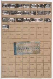
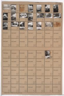
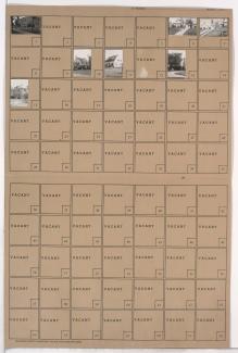
Folder contains photographs of residences in the Morningside neighborhood, from Meyer Boulevard south to 65th Street, and Walnut Street east to Grand Avenue (later Morningside Drive). Folder also includes a plat map of the block.
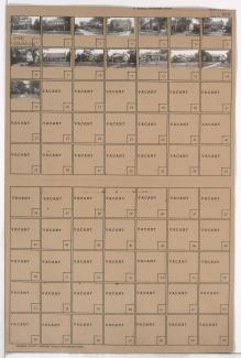
Folder contains photographs of residences in the Morningside neighborhood, from Meyer Boulevard south to 65th Street, and Wornall Road east to Central Avenue.
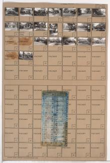
Folder contains photographs of residences in the Morningside neighborhood, from Meyer Boulevard south to 65th Street, and Wyandotte Street east to Baltimore Avenue. Folder also includes a plat map of the block.
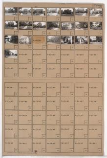
Folder contains photographs of residences in the Morningside neighborhood, from Meyer Boulevard south to 65th Street, and Central Avenue east to Wyandotte Street.
Folder contains photographs of residences in the Morningside neighborhood, from Meyer Boulevard south to 65th Street, and Baltimore Avenue east to Main Street.
Folder contains photographs of residences in the Morningside neighborhood, from Meyer Boulevard south to 65th Street, and Main Street east to Walnut Street.
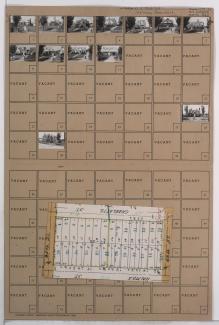
Folder contains photographs of residences in the Holmes Park neighborhood, from 65th Street south to 66th Street, and Charlotte Street east to Rockhill Road. Folder also includes a plat map of the block.
Folder contains photographs of residences in the Morningside neighborhood, from Meyer Boulevard south to 65th Street, and Grand Avenue (later Morningside Drive) east to McGee Street.
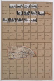
Folder contains photographs of residences in the Morningside neighborhood, from Meyer Boulevard south to 65th Street, and McGee Street east to Oak Street. Folder also includes a plat map of the block.

Folder contains photographs of residences in the Oak Meyer Gardens neighborhood, from 64th Terrace south to 65th Street, and Cherry Street east to Holmes Road.

Folder contains photographs of residences in the Oak Meyer Gardens neighborhood, from 64th Terrace south to 65th Street, and Oak Street east to Cherry Street.

Folder contains photographs of residences in the Holmes Park neighborhood, from Meyer Boulevard south to 65th Street, and Charlotte Street east to Rockhill Road.

Folder contains photographs of residences in the Holmes Park neighborhood, from Meyer Boulevard south to 65th Street, and Rockhill Road east to Troost Avenue.
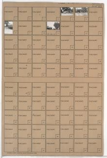
Folder contains photographs of residences and other buildings in the Holmes Park neighborhood, from Meyer Boulevard south to 65th Street, and Holmes Road east to Charlotte Street. Saint Peter's Catholic Church and School, at Meyer and Charlotte, is among the buildings pictured.
Folder contains photographs of residences in the Holmes Park neighborhood, from 65th Street south to 66th Street, and Holmes Road south to Charlotte Street. Folder also includes a plat map of the block.

Folder contains photographs of residences in the Armour Hills neighborhood, from 65th Street south to 65th Terrace, and Main Street east to Edgevale Road. Folder also includes a plat map of the block.

Folder contains photographs of residences and other buildings in the Armour Hills neighborhood, from 65th Street south to 65th Terrace, and Linden Road east to Main Street. Country Club Congregational Church, at 205 West 65th, is among the buildings pictured. Folder also includes a plat map of the block.
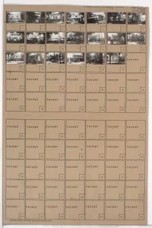
Folder contains photographs of residences and other buildings in the Holmes Park neighborhood, from 65th and 66th Streets south to 67th Street, and Holmes and Rockhill Roads east to Troost Avenue.
Folder contains photographs of residences in the Greenway Fields neighborhood, from Meyer Boulevard south to 65th Street, and Washington Street east to Wornall Terrace.