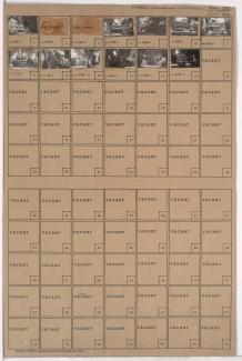
Tax Assessment Block Folder, Kansas City, MO, District 12, Block 237

Folder contains photographs of residences in the Countryside neighborhood, from 56th Street south to 56th Terrace, and Main Street east to Brookside Boulevard.
Street Names
Folder contains photographs of residences in the Countryside neighborhood, from 56th Street south to 56th Terrace, and Main Street east to Brookside Boulevard.
Folder contains photographs of residences in the Countryside neighborhood, from 56th Terrace south to 57th Street, and Main Street east to Brookside Boulevard.

Folder contains photographs of residences in the Brown Estates neighborhood, from 56th Terrace south to 57th Street, and Kensington Avenue east to Elmwood Avenue.

Folder contains photographs of residences in the Swope Parkway neighborhood, from 56th Street south to 56th Terrace, and Kensington Avenue east to Elmwood Avenue.
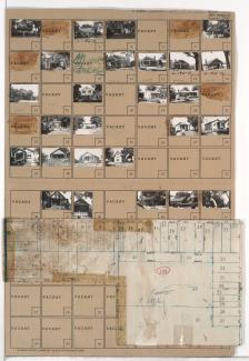
Folder contains photographs of residences in the Swope Parkway neighborhood, from 56th Street south to 56th Terrace and 57th Street, and from Swope Parkway and Myrtle Avenue east to Jackson Avenue. Folder also includes a plat map of the block.