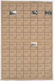
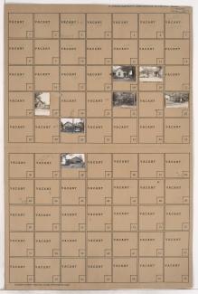
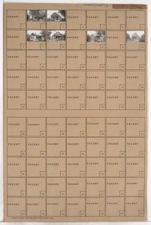
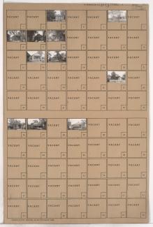
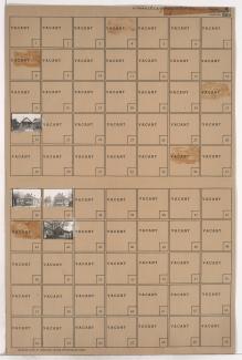
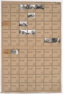
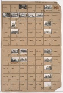
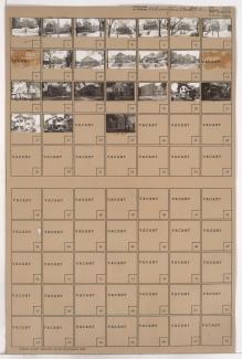
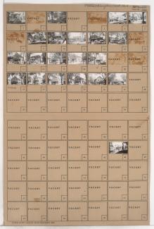
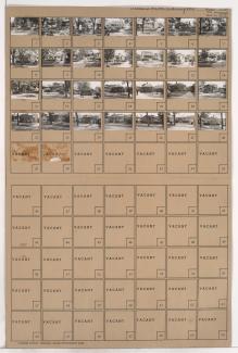
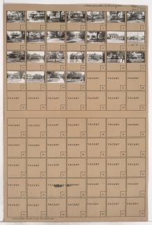
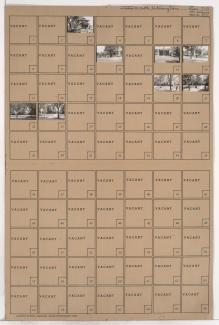
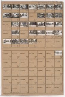
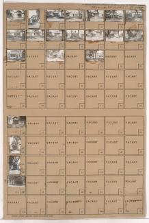
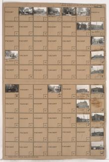
Folder contains photographs of residences, businesses, and industrial facilities in the Northeast Industrial District, on two adjacent blocks: one between the Missouri River and rail lines, and the second from Owen Avenue south to Nicholson Avenue, and Montgall Avenue east to Kansas Avenue. The Speas Vinegar plant, at 2400 Nicholson Avenue, is among the buildings pictured.
Search
Folder contains photographs of residences and other buildings in the Northeast Industrial District, from Owen Avenue south to Nicholson Avenue, and Garland Avenue east to Prospect Avenue.
Folder contains photographs of residences in the Northeast Industrial District, from Owen Avenue south to Nicholson Avenue, and Prospect Avenue east to Montgall Avenue.
Folder contains photographs of residences in the Gregory Place #2 addition, from Morris Avenue south to Owen Avenue, and Hanley Avenue east to Chestnut Avenue.
Folder contains photographs of residences in the Gregory Place #2 addition, from Gardner Avenue south to Owen Avenue, and Chestnut Avenue east to Kansas Avenue.
Folder contains photographs of residences in the Gregory Place addition, from Gardner Avenue south to Owen Avenue, and Kansas Avenue east to Agnes Avenue.
Folder contains photographs of residences in the Gregory Place addition, from Gardner Avenue south to Owen Avenue, and Agnes Avenue east to Bellefontaine Avenue.
Folder contains photographs of residences and businesses in the Northeast Industrial District, on two parcels: one from Owen Avenue south to Lorene Avenue, and from Block 21 east to Bellefontaine Avenue, and the other from Gardner Avenue south to Owen Avenue and Nicholson Avenue, and Bellefontaine Avenue east to Monroe Avenue.
Folder contains photographs of residences in the South Indian Mound neighborhood, from Anderson Avenue south to Smart Avenue, and Van Brunt Boulevard east to Chelsea Avenue.
Folder contains photographs of residences in the South Indian Mound neighborhood, from Anderson Avenue south to Smart Avenue, and Lawn Avenue east to Van Brunt Boulevard.
Folder contains a photograph of Northeast High School, on a block bound by Smart Avenue on the north, Thompson Avenue on the south, Van Brunt Boulevard on the west, and Brighton Avenue on the east.
Folder contains photographs of residences in the South Indian Mound neighborhood, from Smart Avenue south to Thompson Avenue, and Lawn Avenue east to Van Brunt Boulevard.
Folder contains photographs of residences and businesses in the South Abington subdivision, from Thompson Avenue south to Independence Avenue, and Lawn Avenue east to Van Brunt Boulevard. Summers Moving Company, at 4716-4718 Independence Avenue, is among the buildings pictured.
Folder contains photographs of residences and businesses in the South Abington subdivision, from Thompson Avenue south to Independence Avenue, and Van Brunt Boulevard east to Chelsea Avenue. Smith's Service Station, at Independence and Van Brunt, is among the buildings pictured.
Folder contains photographs of residences, businesses, and other buildings in the Lykins neighborhood, from Independence Avenue south to 6th Street, and Van Brunt Boulevard east to Brighton Avenue.
Folder contains photographs of residences and other buildings in the Lykins neighborhood, from Independence Avenue south to 6th Street, and Elmwood Avenue east to Van Brunt Boulevard.
Folder contains photographs of residences in the Lykins addition, from 7th Street south to 8th Street, and Elmwood Avenue east to Van Brunt Boulevard.
Folder contains photographs of residences in the Lykins neighborhood, from 6th Street south to 7th Street, and Elmwood Avenue east to Van Brunt Boulevard.
Folder contains photographs of residences and businesses in the Lykins neighborhood, from 8th Street south to 9th Street, and Elmwood Avenue east to Van Brunt Boulevard.