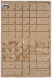
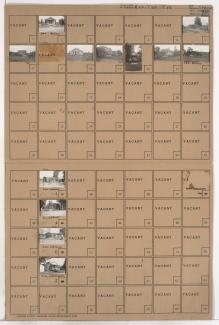
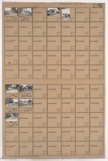
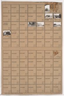
Tax Assessment Block Folder, Kansas City, MO, District 2, Block 5
Folder contains a photograph of a residence in the Northeast Industrial District, from Frankfort Avenue south to Empire Road, and Norton Avenue east to Jackson Avenue.
Folder contains a photograph of a structure in the Northeast Industrial District, from Empire Road south to Front Street, and Monroe Avenue east to Jackson Avenue.
Folder contains photographs of residences in the Northeast Industrial District, from the Missouri River south to Empire Road and Dowden Place, and Monroe Avenue east to Jackson Avenue and Myrtle Avenue.
Folder contains photographs of houses and other buildings in the Northeast Industrial District, from the Missouri River south to Empire Road, and the Missouri River and Cottonwood Avenue east to Monroe Avenue.
Folder contains photographs of residences and other buildings in the Northeast Industrial District, from the Missouri River and Empire Road south to Front Street and Gardner Avenue, and the river and Walrond Place east to Bales Avenue and Monroe Avenue.