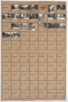
Tax Assessment Block Folder, Kansas City, MO, District 12, Block 335
Folder contains photographs of residences in the Stratford Gardens neighborhood, from 59th Street south to Stratford Road, and State Line Road east to Ward Parkway.
Folder contains photographs of residences in the Stratford Gardens neighborhood, from Stratford Road south to Huntington Road, and State Line Road east to Ward Parkway.
Folder contains photographs of residences in the Stratford Gardens neighborhood, from Huntington Road south to 61st Street and southeast to 60th Terrace.
Folder contains photographs of residences in the Stratford Gardens neighborhood, from 60th Terrace south to 61st Street and east to Ward Parkway.
Folder contains photographs of residences in the Stratford Gardens neighborhood, from 61st Terrace south to 62nd Street, and State Line Road east to Ward Parkway. Folder also includes a plat map of the block.
Folder contains photographs of residences in the Stratford Gardens neighborhood, from 61st Street south to 61st Terrace, and State Line Road east to Ward Parkway.
Folder contains photographs of residences in the Stratford Gardens neighborhood, from 62nd Street south to 63rd Street and east to Ward Parkway.
Folder contains photographs of residences in the Stratford Gardens neighborhood, from 63rd Street south to 63rd Terrace, and State Line Road east to Ward Parkway. Folder also includes a plat map of the block.
Folder contains photographs of residences in the Stratford Gardens neighborhood, from 63rd Terrace south to 64th Street, and State Line Road east to Ward Parkway. Folder also includes a plat map of the block.