Tax Assessment Block Folder, Kansas City, MO, District 12, Block 244

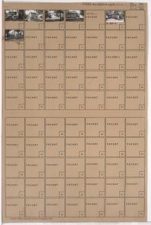
Folder contains photographs of residences in the Wornall Homestead neighborhood, from 57th Street south to 58th Street, and Wornall Road east to Central Street.
Street Names
Folder contains photographs of residences in the Wornall Homestead neighborhood, from 57th Street south to 58th Street, and Wornall Road east to Central Street.

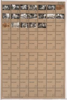
Folder contains photographs of residences in the Wornall Homestead neighborhood, from 57th Street south to 58th Street, and Central Street east to Wyandotte Street.

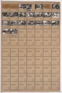
Folder contains photographs of residences in the Wornall Homestead neighborhood, from 57th Street south to 57th Terrace, and Wyandotte Street east to Main Street.

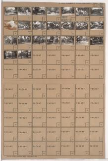
Folder contains photographs of residences in the Wornall Homestead neighborhood, from 57th Terrace south to 58th Street, and Wyandotte Street east to Main Street.

Folder contains photographs of residences in the Wornall Homestead neighborhood, from 57th Street south to 57th Terrace, and Main Street east to Brookside Boulevard.
Folder contains photographs of residences in the Wornall Homestead neighborhood, from 57th Terrace south to 58th Street, and Main Street east to Brookside Boulevard.
Folder contains photographs of residences in the Wornall Homestead neighborhood, from 59th Street south to Huntington Road, and Wornall Road east to Central Street.

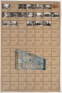
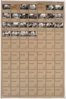
Folder contains photographs of residences and other businesses in the Brookside neighborhood, from 58th Street south to 59th Street, and Main Street east to Grand Avenue, including a section of Brookside Boulevard. Folder also includes a plat map of the block.
Folder contains photographs of residences in the Wornall Homestead neighborhood, from 58th Street south to 58th Terrace, and Wyandotte Street east to Main Street.
Folder contains photographs of residences in the Wornall Homestead neighborhood, from 58th Terrace south to 59th Street, and Wyandotte Street east to Main Street.

Folder contains photographs of residences in the Wornall Homestead neighborhood, from 58th Street south to 59th Street, and Central Street east to Wyandotte Street.

Folder contains photographs of residences in the Wornall Homestead neighborhood, from 58th Street south to 59th Street, and Wornall Road east to Central Street.

Folder contains photographs of residences in the Wornall Homestead neighborhood, from 59th Street south to Huntington Road, and Central Street east to Wyandotte Street.

Folder contains photographs of residences in the Wornall Homestead neighborhood, from 59th Street south to Huntington Road, and Wyandotte Street east to Brookside Boulevard.
Folder contains photographs of residences in the Wornall Homestead neighborhood, from Huntington Road south to 61st Street, and Wyandotte Street east to Brookside Boulevard. Folder also includes a plat map of the block.

Folder contains photographs of residences in the Wornall Homestead neighborhood, from Huntington Road south to 61st Street, and Central Street east to Wyandotte Street.

Folder contains photographs of residences in the Wornall Homestead neighborhood, from Huntington Road south to 61st Street, and Wornall Road east to Central Street.

Folder contains photographs of residences in the Wornall Homestead neighborhood, from 61st Street south to 61st Terrace, and Wornall Road east to Brookside Boulevard. The John B. Wornall House, at 6115 Wornall, is among the buildings pictured.
Folder contains photographs of residences in the Wornall Homestead neighborhood, from 61st Terrace south to 62nd Street, and Wornall Road east to Brookside Boulevard.

Folder contains photographs of residences in the Wornall Homestead neighborhood, from 62nd Street south to 62nd Terrace, and Wornall Road east to Brookside Boulevard.