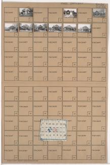
Folder contains photographs of residences in the South Blue Valley neighborhood, from 30th Street south to 30th Terrace, and Oakley Avenue east to Topping Avenue. Folder includes a plat map of the block.
Street Names
Folder contains photographs of residences in the South Blue Valley neighborhood, from 30th Street south to 30th Terrace, and Oakley Avenue east to Topping Avenue. Folder includes a plat map of the block.
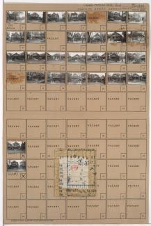
Folder contains photographs of residences in the South Blue Valley neighborhood, from 30th Street south to 30th Terrace, and Drury Avenue east to Oakley Avenue. Folder also includes a plat map of the block.
Folder contains photographs of residences and other buildings in the South Blue Valley neighborhood, from 30th Terrace south to Paloma Avenue, and Drury Avenue east to Oakley Avenue. Folder also includes a plat map of the block.
Folder contains photographs of residences in the South Blue Valley neighborhood, from 30th Terrace south to Paloma Avenue, and Oakley Avenue east to Topping Avenue.
Folder contains photographs of residences in the Santa Fe neighborhood, from 30th Street south to 30th Terrace, and Walrond Avenue east to College Avenue. Folder also includes a plat map of the block.
Folder contains photographs of residences in the Santa Fe neighborhood, from 30th Terrace south to 31st Street, and Walrond Avenue east to College Avenue. Folder also includes a plat map of the block.
Folder contains photographs of residences in an area including Kessler Park, north of Norledge Place and adjacent to Walrond Avenue and Indiana Avenue.
Folder contains photographs of the Kansas City Museum (formerly Corinthian Hall, home of Robert A. Long) at 3218 Gladstone Boulevard, and other buildings on the property, which extends from Norledge Place south to Scarritt Avenue, and Gladstone Boulevard east to Indiana Avenue. Additional pictured buildings include the property's greenhouse and carriage house.
Folder contains a photograph of a residence in the Melrose addition, from Kessler Park & Norledge Place south to Gladstone Boulevard, and Indiana Avenue east to Bales Avenue.