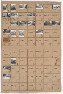
Tax Assessment Block Folder, Kansas City, MO, District 6, Block 52

Folder contains photographs of residences in the Lykins neighborhood, from 10th Street south to Cloon Avenue, and Kensington Avenue east to Elmwood Avenue.
Street Names
Folder contains photographs of residences in the Lykins neighborhood, from 10th Street south to Cloon Avenue, and Kensington Avenue east to Elmwood Avenue.

Folder contains photographs of residences and other buildings in the Lykins neighborhood, from Cloon Avenue south to 12th Street, and Jackson Avenue east to Elmwood Avenue, including a section of 11th Street.
Folder contains photographs of residences and businesses in the Lykins neighborhood, from 9th Street south to Cloon Avenue, and Jackson Avenue east to Spruce Avenue.

Folder contains photographs of residences in the Lykins neighborhood, from Cloon Avenue south to 11th Street, and Jackson Avenue east to Spruce Avenue.

Folder contains photographs of residences and businesses in the Lykins neighborhood, from 10th Street south to 11th Street and Cloon Avenue, and from Spruce Avenue east to Kensington Avenue, including a section of Carey Avenue.

Folder contains photographs of residences in the Lykins neighborhood, from 10th Terrace south to Cloon Avenue, and Spruce Avenue east to Carey Avenue.