Tax Assessment Block Folder, Kansas City, MO, District 7, Block 196

Folder contains photographs of residences in the Blue Valley Park neighborhood, north of 26th Terrace, and from Topping Avenue east to Belmont Avenue.
Street Names
Folder contains photographs of residences in the Blue Valley Park neighborhood, north of 26th Terrace, and from Topping Avenue east to Belmont Avenue.

Folder contains photographs of residences and other buildings in the Blue Valley Park neighborhood, from 26th Terrace south to 27th Street, and Topping Avenue east to White Avenue. Folder also includes a plat map of the block.
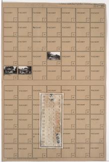
Folder contains photographs of residences in the Blue Valley Park neighborhood, from 26th Terrace south to 27th Street, and White Avenue east to Belmont Avenue. Folder also includes a plat map of the block.
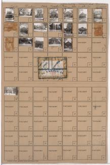
Folder contains photographs of residences in the Washington Wheatley neighborhood, from 26th Street south to 26th Terrace, and Walrond Avenue east to College Avenue. Folder also includes a plat map of the block.

Folder contains photographs of residences, businesses, and other buildings in the Washington Wheatley neighborhood, from 26th Terrace south to 27th Street, and Walrond Avenue east to College Avenue. The Murray Theater, at 3206 East 27th, is among the buildings pictured. Folder also includes a plat map of the block.
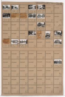
Folder contains photographs of residences, businesses, and other buildings in the West Side neighborhood, from 26th Street south to 27th Street, and Southwest Boulevard east to Jarboe Street, including a section of 26th Terrace. Consumers Fuel Company, at 1108 West 26th Terrace, and Mrs. Gorman's Junk Yard is among the buildings pictured.

Folder contains photographs of residences in the West Side neighborhood, from 26th Terrace south to 27th Street, and Holly Street east to Jarboe Street.