Tax Assessment Block Folder, Kansas City, MO, District 7, Block 40

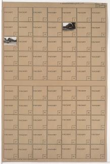
Folder contains photographs of residences in the Blue Valley Industrial District, from 9th Street south to 10th Street, and Corrington Avenue east to Crystal Avenue.
Street Names
Folder contains photographs of residences in the Blue Valley Industrial District, from 9th Street south to 10th Street, and Corrington Avenue east to Crystal Avenue.
Folder contains photographs of residences in the Blue Valley Industrial District, from 9th Street south to 10th Street, and Crystal Avenue east to Eastern Avenue.

Folder contains photographs of residences and other buildings in the Blue Valley Industrial District, from 11th Street south to 12th Street, and Crystal Avenue east to Eastern Avenue.

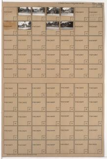
Folder contains photographs of residences in the Blue Valley Industrial District, from 10th Street south to 11th Street, and Corrington Avenue east to Crystal Avenue.

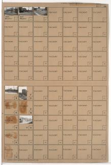
Folder contains photographs of residences in the Blue Valley Industrial District, from 10th Street south to 11th Street, and Crystal Avenue east to Eastern Avenue.
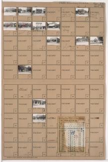
Folder contains photographs of residences and other buildings in the Blue Valley Industrial District, from 11th Street south to 12th Street, and Corrington Avenue east to Crystal Avenue. Blue Valley Baptist Church, at 1116 Crystal, is among the buildings pictured.
Folder contains photographs of buildings and industrial facilities in the Blue Valley Industrial District, from 12th Street south to 14th Street, and the railroad tracks east to Crystal Avenue.

Folder contains photographs of residences, businesses, and other buildings in the Blue Valley Industrial District, from 14th Street south to 15th Street (later Truman Road), and Crystal Avenue east to Eastern Avenue.
Folder contains photographs of businesses and other buildings in the East Blue Valley neighborhood, from 15th Street (later Truman Road) south to 16th Street, and Corrington Avenue east to Crystal Avenue. Milgram Grocery Store, at 7217 East 15th, and W. A. Turley Sheet Metal Works, at 1524 Crystal, are among the buildings pictured.

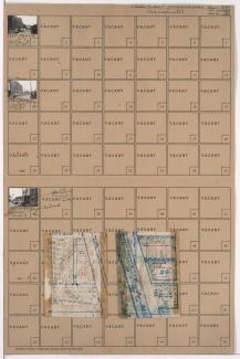
Folder contains photographs of residences in the East Blue Valley neighborhood, from 16th Street south to 16th Terrace, and Corrington Avenue east to Crystal Avenue. Folder also contains a plat map of the block.
Folder contains photographs of Security Stove Manufacturing Company buildings in the Blue Valley Industrial District, from 16th Terrace south to 17th Street, and Crystal Avenue east to Oakland Avenue. Folder also contains a plat map of the block.

Folder contains photographs of residences in the East Blue Valley neighborhood, from 16th Terrace south to 17th Street, and Corrington Avenue east to Crystal Avenue. Folder also contains a plat map of the block.

Folder contains photographs of residences in the East Blue Valley neighborhood, from 17th Street south to 18th Street, and Crystal Avenue east to the railroad tracks. Folder also includes a plat map of the block.