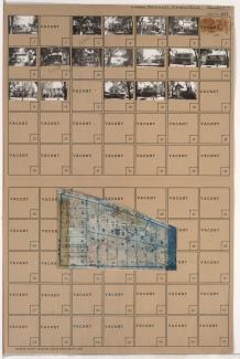
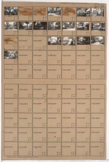
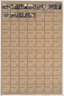
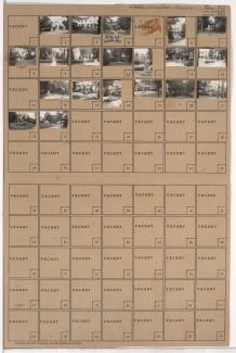
Tax Assessment Block Folder, Kansas City, MO, District 12, Block 260
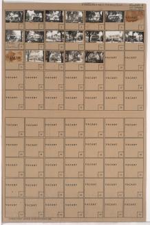
Folder contains photographs of residences in the Wornall Homestead neighborhood, from 59th Street south to Huntington Road, and Wornall Road east to Central Street.
Street Names