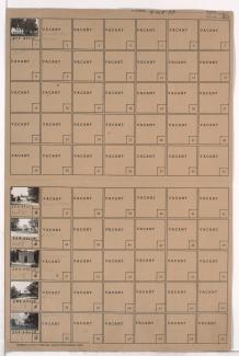
Folder contains photographs of buildings in and around the Forest Hill and Calvary Cemeteries, in the Neighbors United for Action Neighborhood.
Street Names
Folder contains photographs of buildings in and around the Forest Hill and Calvary Cemeteries, in the Neighbors United for Action Neighborhood.
Detail map of District 9 of the 1940 tax assessment project. Map illustrates block numbers, appraised values, and plat boundaries, as well as streets, parks, and other features. The map covers an area from 31st Street south to 47th Street, and Prospect Avenue east to Topping Avenue.
