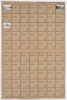
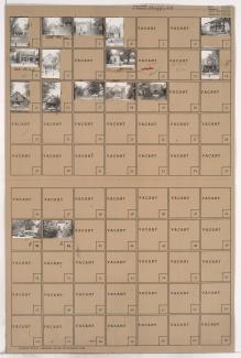
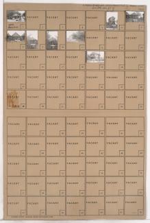
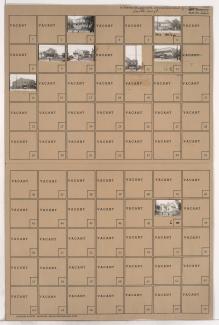
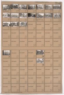
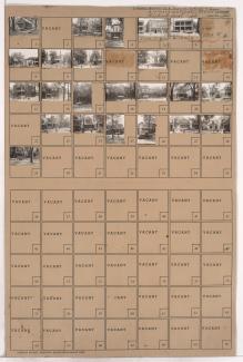
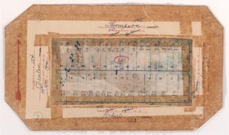
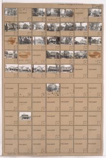
Tax Assessment Block Folder, Kansas City, MO, District 1, Block 160
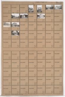
Folder contains photographs of residences and businesses in the Sheffield neighborhood, from Winner Road south to Roberts Street, and Ewing Avenue east to Cambridge Avenue.
Street Names