
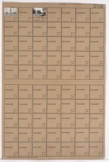
Folder contains photographs of businesses and other buildings in the West Side neighborhood, from 23rd Street Trafficway south to Pershing Road, and West Pennway east to Broadway Boulevard. The Union Station Power House building, at 500 West Pershing, is among the buildings pictured.
Search
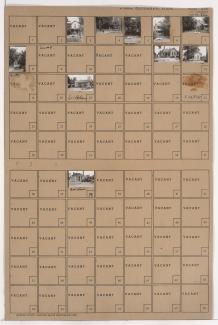
Folder contains photographs of residences and businesses in the Jameson subdivision, from Pershing Road south to 25th Street, and West Pennway east to Washington Street.
Street Names

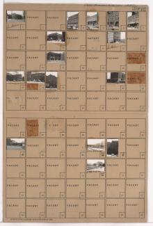
Folder contains photographs of residences and businesses in the Jameson subdivision, from Pershing Road south to 25th Street, and Washington Street east to Broadway. American Butter Company, at 2440 Broadway, and Town Topic are among the businesses pictured.
Street Names
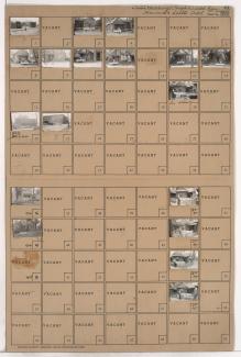
Folder contains photographs of businesses and other buildings in the Crossroads District, from 20th Street south to Pershing Road, and Main Street east to Walnut Street and Grand Avenue. Walnut Storage, at 2020-2024 Walnut, is among the buildings pictured. A side view of Union station, including the rail lines leading to it, are also pictured.
Street Names
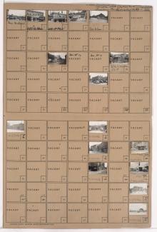
Folder contains photographs of businesses and other buildings in the Crossroads District, from 20th Street and Milwaukee Avenue (22nd Street) south to Pershing Road, and from West Pennway east to Main Street. Church's Lunch, at 2012 Main, Hotel Terminal, at 2016 Main, and the Freight House Building, on 22nd Street, are among the buildings pictured. Kansas City's Union Station, on Pershing, and the adjacent Railway Exchange building, are also included.

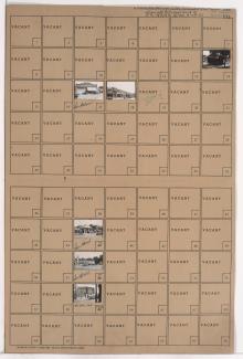
Folder contains a photograph of a building in the Crown Center district, from 23rd Street south to Pershing Road, and McGee Street Trafficway east to Oak Street.
Street Names

Folder contains photographs of businesses and other buildings in the Crown Center district, from 23rd Street south to Pershing Road, and Grand Avenue east to McGee Street Trafficway. United Motors Warehouse is among the buildings pictured. Plat map of block is also included.
Street Names
Folder contains photographs of businesses and residences in the Crown Center district, from Pershing Road south to 25th Street, and McGee Street Trafficway east to Oak Street. Wright's Smoke Company, at 2433 Oak, is among the buildings pictured.
Street Names

Folder contains photographs of businesses and other buildings in the Crown Center district, from Pershing Road south to 25th Street, and Grand Avenue east to McGee Street Trafficway. A Velvet Freeze ice cream shop is among the buildings pictured.
Street Names

Folder contains photographs of businesses in the Crown Center district, with Pershing Road on the north and south, and from Walnut Street east to Grand Avenue. Stewart's Radio Shop is among the buildings pictured.
Street Names

Folder contains photographs of businesses and other buildings in the Crown Center district, from Pershing Road south to 27th Street, and Main Street east to Walnut Street and Grand Avenue, including Esplanade, City View Avenue, and 26th Street running east to west. Shepherd Tire Company, at 2518 Grand, is among the buildings pictured.
Folder contains photographs of structures in Penn Valley Park. Liberty Memorial is among the buildings pictured.

Folder contains photographs of the Federal Building and Post Office and Business Men's Assurance Company buildings, in an area adjacent to Union Station from Pershing Road south to 25th Street, and Broadway Boulevard (later West Pennway) east to Kessler Road.
Street Names
Folder contains photographs of residences and businesses in the East Bottoms area, from Rochester Avenue south to Guinotte Avenue, and and Park Avenue east to Olive Street, bisected by Warner Avenue and Edgar Avenue.

Folder contains photographs of residences and businesses in the East Bottoms area, from Guinotte Avenue south to the rail lines, and Warner Avenue east to Olive Street.
Street Names